Staff Software Engineer · 25+ Years
Karl Hill
I help mission-driven teams turn hard problems into cloud-native platforms that ship reliably — and keep shipping at scale.
I architect systems, lead teams, and ship software that matters — from disaster-response platforms at NASA to mission-critical aerospace systems at Jacobs/BlackLynx.
Available for select consulting00 — Impact
25+
Years of Experience
1.5M
Monthly Visitors · NASA Platforms
$105M
Platform Acquisition Value
~60%
Efficiency Gained via Automation
01 — Why Me
I Build
Cloud-native platforms on AWS. Containerized services with Docker and Kubernetes. High-traffic web systems. Secure CI/CD pipelines. Built to last and operate reliably at scale — not just to demo well.
I Lead
Engineering teams from roadmap to release. 1:1s, onboarding, PR standards, definition of done — the unglamorous work that turns a group of developers into a high-performing team that ships consistently.
I Deliver
Predictable execution, every sprint. I translate mission needs into sequenced plans, manage stakeholders across technical and non-technical audiences, remove blockers, and ship.
02 — Selected Work
View all work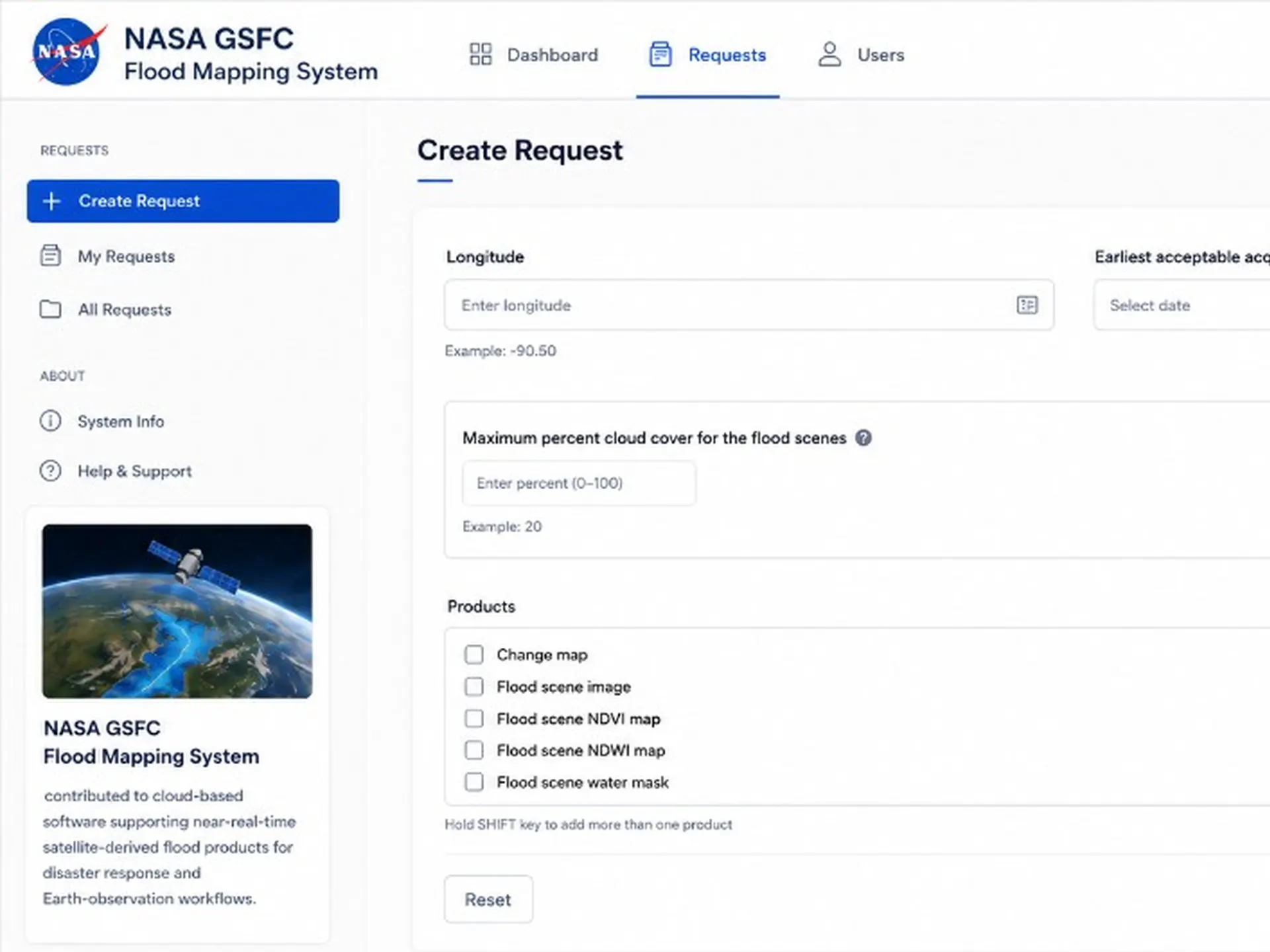
NASA · 2017–2025
Flood Mapping System
Mission-critical geospatial platform generating near-real-time flood inundation maps during active global disaster events. Architected the fully automated pipeline — from raw satellite sensor ingestion through geospatial product generation, dissemination, and integration with international emergency-management networks — engineered for fault tolerance and reliability when latency is measured in hours, not sprints.
Read case study

NASA · 2017–2025
NASA Earth Observatory
Flagship science-communication platform serving 1.5M+ monthly visitors with satellite imagery and Earth science data. Led the architectural overhaul of the publishing pipeline — re-platforming editorial workflows for distributed content teams and hardening the delivery layer for accessibility, performance, and search at scale. Set the technical direction that turned ad-hoc story production into a repeatable, self-service system built to evolve for the next decade.
Read case study
NASA · 2017–2025
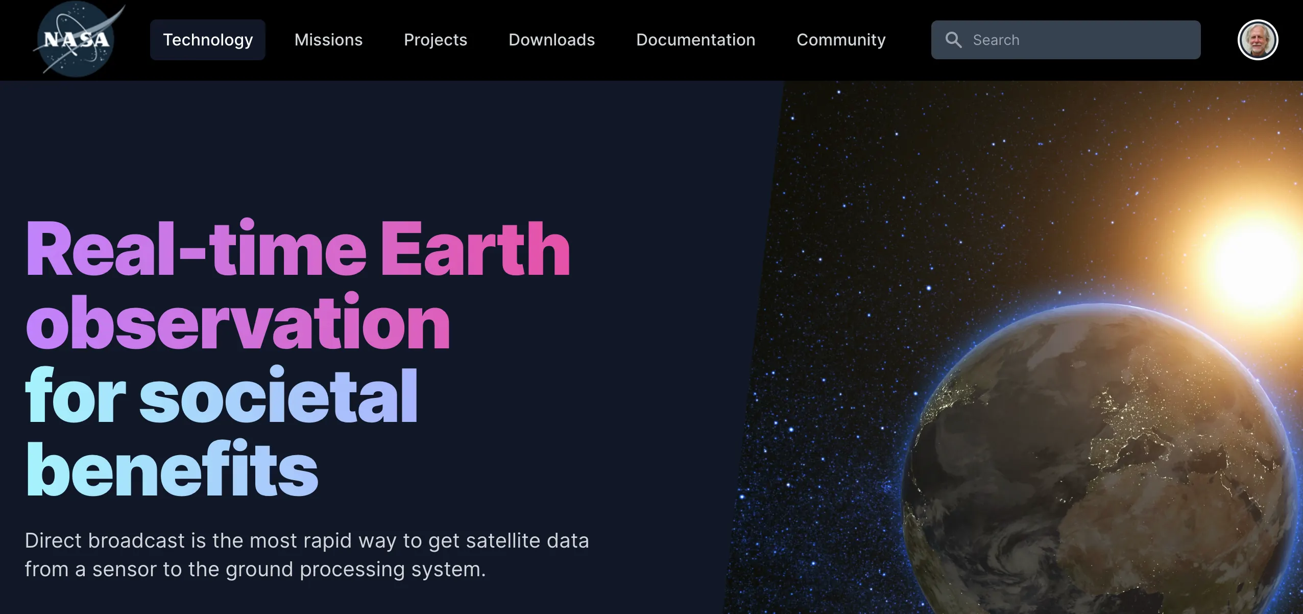
Direct Readout Laboratory
Real-time scientific data-processing hub ingesting multi-instrument sensor streams from polar-orbiting satellites. Designed the ingestion and reformatting architecture that transforms raw downlinks into Level-0 through Level-2 geophysical products, sustaining 24/7 distribution to operational centers and a global network of registered direct-broadcast ground stations.
Read case study
03 — Latest Writing
All writing-
6 min read
What 20 Years Taught Me About Release Governance
Release governance is not bureaucracy. Done well, it is how engineering protects trust — how teams make sure what they build can actually be deployed, supported, reproduced, explained, secured, and operated.
-
2 min read
The Unglamorous Work of Leading Engineering Teams
High-performing teams are rarely the result of a single brilliant hire. They are the product of consistent standards, honest feedback, and the quiet operational work that makes delivery predictable.
-
2 min read
Why Automation Matters More When the Data Is Mission-Critical
In Earth science and disaster-response systems, manual workflows do not just waste time — they delay decisions. Automation is how you turn raw sensor streams into something operational teams can actually use.