Skip to content

Work

Mission software, Earth science systems, and engineering infrastructure built for real operational use.

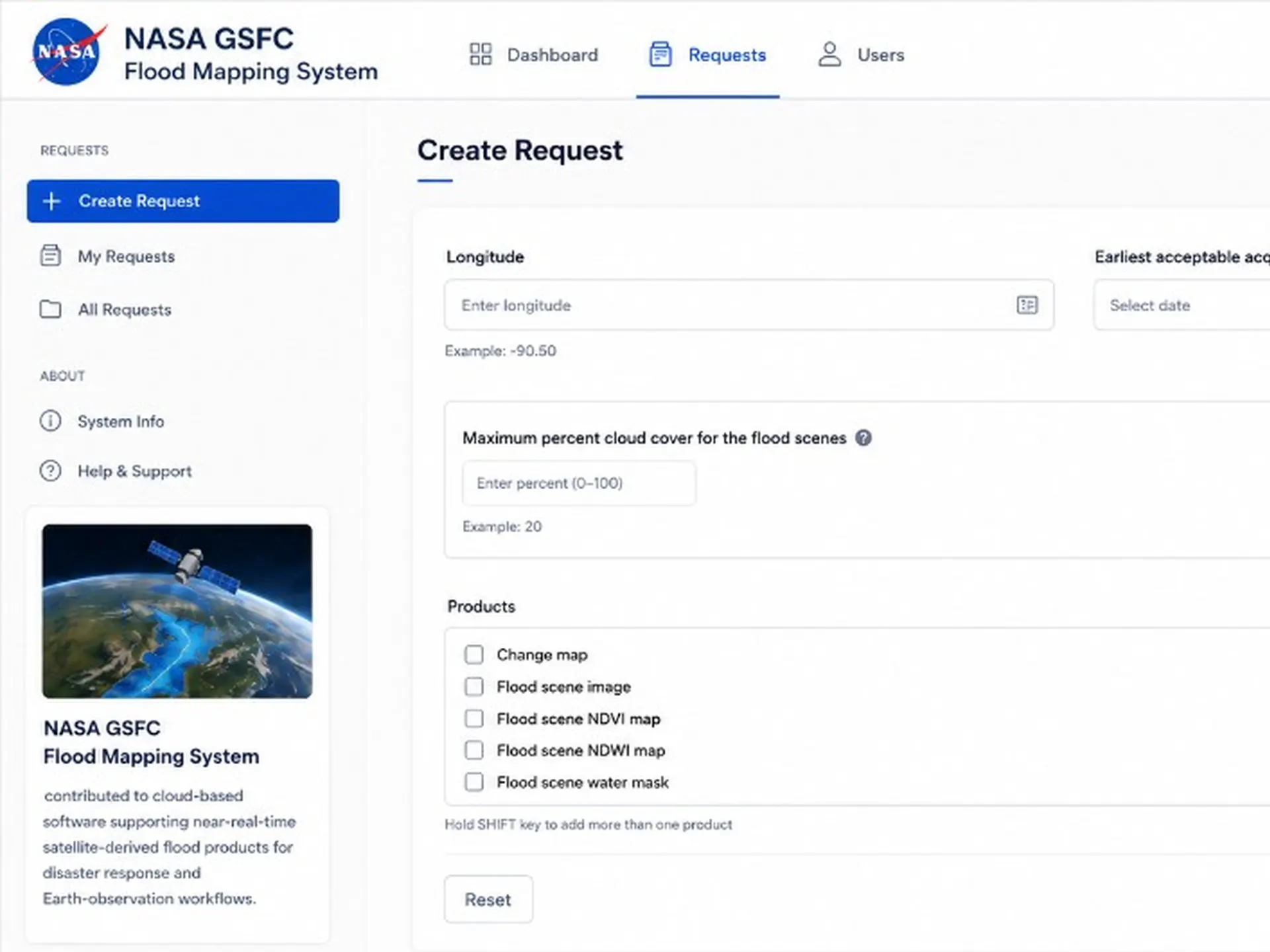
Read case study: Flood Mapping System Screenshot of Flood Mapping System

NASA · 2017–2025

Flood Mapping System

Python and Docker software for processing and distributing satellite-derived flood maps on AWS. Built to support near-real-time Earth observation products. The live map is public; a GeoHorizons paper describes the system.

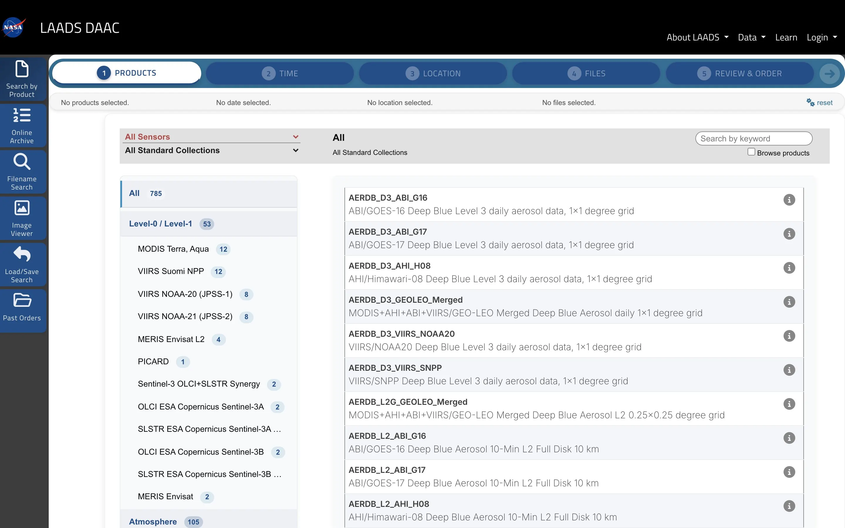
Read case study: LAADS DAAC NASA LAADS Find Data — product, time, location, files, and review-and-order wizard for MODIS and VIIRS granules.

NASA · 2017–2025

LAADS DAAC

Find Data search, ordering, and near-real-time access to NASA MODIS and VIIRS satellite data. Web systems shipped through GitLab CI/CD and Kubernetes alongside existing Perl services.